


Two girls of Li ethnic group. [Photo/lingshui.gov.cn]
Lingshui Li autonomous county is situated in the southeast of Hainan Island. It borders Wanning city to the northeast, Qiongzhong to the north, Baoting to the northwest, and Sanya city to the southeast. It also lies close to the South China Sea. Its coastline is 57.5 kilometers long, and the county has a total area of 1,128 square kilometers.
The county's terrain is mainly characterized by mountains, hills and plains. There are 24 mountains in the county. Of these, Diaoluo mountain stands the tallest, with an altitude of 1,499.8 meters.
Lingshui has 1,223 square kilometers of sea area, covering Fenjiezhou Island in the northeast and connecting with Sanya's sea area in the southeast. Its sea area includes four bays - Xiangshui Bay, Lingshui Bay, Qingshui Bay and Tufu Bay; two islands - Fenjiezhou Island and Nanwan Peninsula; and five natural ports - Xincun Port, Lian Port, Shuikou Port, Shanzhong Port and Gangpo Port. Of these ports, Xincun Port is the largest, covering a water area of 2,226 hectares and an available area of 1,235.8 hectares.
The county has 17 tourist attractions, including the Soviet government site, the stone carving of the Japanese army's invasion of Lingshui, Sanmei Temple, Nanwan Monkey Island, Diaoluoshan National Forest Park, Xiangshui Bay, Fenjiezhou Island, Coconut Island, Tufu Bay, Qingshui Bay, and Gaofeng Hot Springs. Of these, Nanwan Monkey Island is the only Chinese nature reserve focused on the rhesus macaque (macaca mulatta).
In 2022, the county's regional GDP reached 23.17 billion yuan ($3.36 billion), a year-on-year decrease of 0.6 percent.

The Lingshui Li Brocade Square. [Photo/lingshui.gov.cn]


 Overview
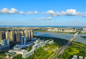 Haikou
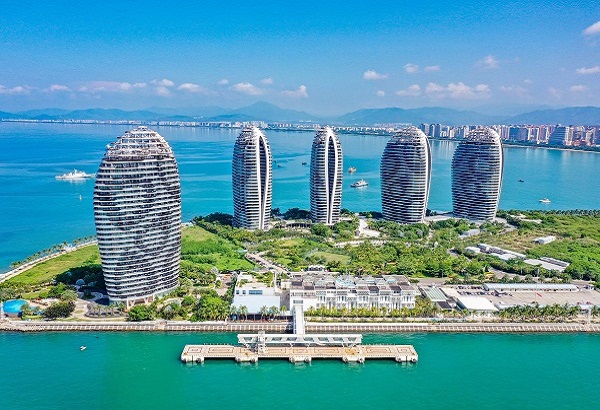
 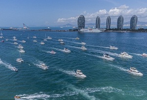 Sanya
Sanya 

