Panoramic aerial views of Hechi
The city of Hechi is located in the northwestern Guangxi Zhuang autonomous region and on the southern foot of the Yunnan-Guizhou Plateau. Hechi's terrain is diverse and it is a major karst landform tourism area. The total karst landform area in Hechi is 21,795 square kilometers, accounting for 65.74 percent of the city's land area, making it the prefecture-level city with the most exposed karst landform in Guangxi.
In the past, Hechi was dominated by agriculture, with a population of 2.92 million in 1978 and an urbanization rate of only 9.7 percent. In recent years, Hechi has adhered to the goal of building a livable city, accelerating the construction of urban areas, characteristic villages and towns, as well as accelerating the process of new urbanization. In 2021, the city's urbanization rate reached 45.93 percent, an increase of 1.05 percentage points over its urbanization rate last year.
Here are some panoramic views of the 11 counties and districts in Hechi captured by aerial photography, providing stunning looks at the city.
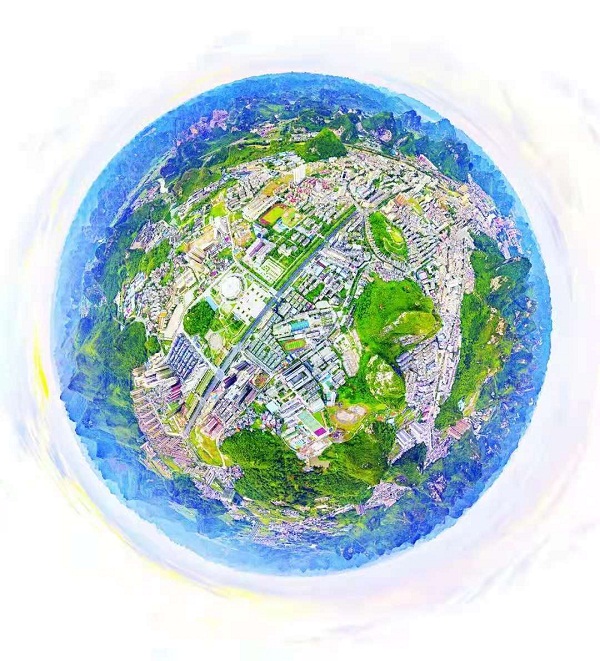
The panoramic view of Jinchengjiang district's urban area. [Photo/Hechi Daily]

The panoramic view of Yizhou district's urban area. [Photo/Hechi Daily]
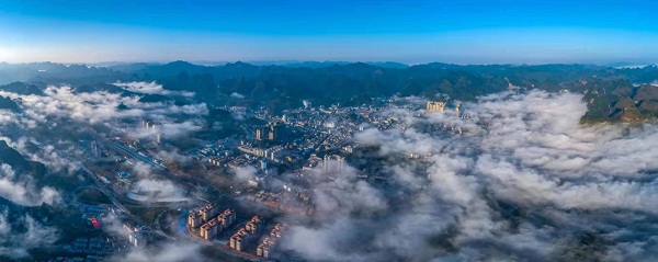
The panoramic view of Nandan county's urban area. [Photo/Hechi Daily]

The panoramic view of Huanjiang Maonan autonomous county's urban area. [Photo/Hechi Daily]

The panoramic view of Luocheng Mulam autonomous county's urban area. [Photo/Hechi Daily]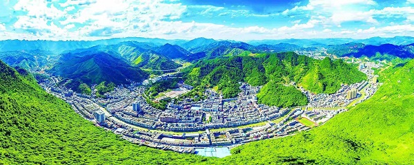
The panoramic view of Donglan county's urban area. [Photo/Hechi Daily]
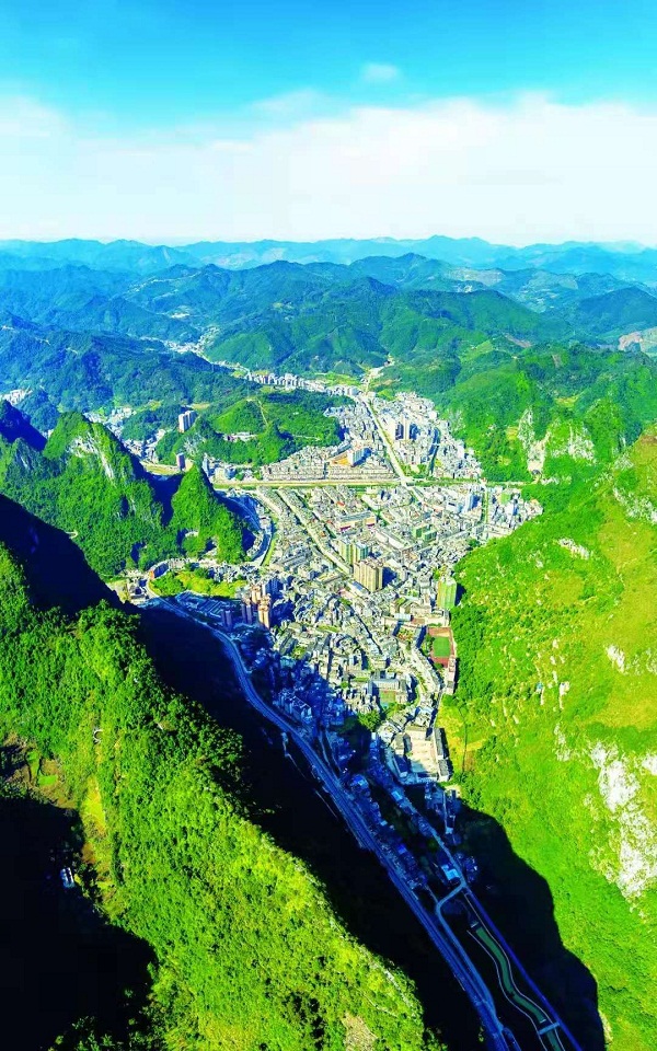
The panoramic view of Fengshan county's urban area. [Photo/Hechi Daily]
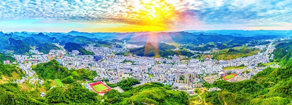
The panoramic view of Bama Yao autonomous county's urban area. [Photo/Hechi Daily]

The panoramic view of Du'an Yao autonomous county's urban area. [Photo/Hechi Daily]
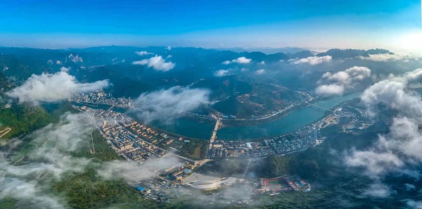
The panoramic view of Tian'e county's urban area. [Photo/Hechi Daily]

The panoramic view of Dahua Yao autonomous county's urban area. [Photo/Hechi Daily]
Copyright © Hechi Municipal People's Government. All rights reserved.
Presented by China Daily.
京ICP备13028878号-6


