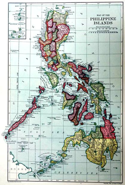
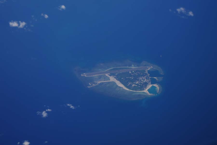
Map of the Philippine Islands was prepared in 1906 by Caspar W. Hodgson the American according to the Treaty of Paris. The most critical evidence in the map is the horizontal line composed of dots and dashes along the 118° longitude line. Annotated as "PARIS TREATY LINE", it concurs with the line established in Treaty of Paris, which is the western boundary of the Philippines according to the treaty. Scarborough Shoal (now Huangyan Dao) lies beyond the line, indicating that the initial naming of Huangyan Dao by the British in the 18th century was restored and the Spanish name of the 19th century was abolished. This shows that Huangyan Dao does not belong to the Philippines.

Map of the Philippine Islands


 Overview
 Resources & Environment


 QQ 好友
QQ 好友 微信好友
微信好友 易信好友
易信好友 QQ空间
QQ空间 朋友圈
朋友圈 百度空间
百度空间