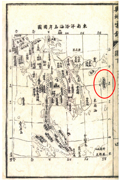
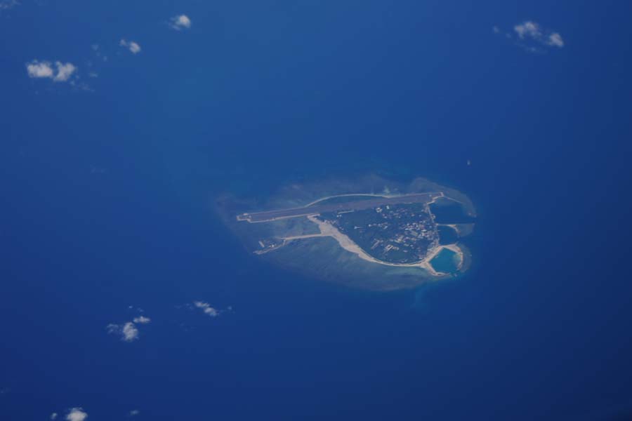
In 1894 (the twentieth year of Guangxu in the Qing Dynasty), Ma Guanqun attached the map Dong Nan Yang Yan Hai Dao An Guo Tu to his book Geography of China and Overseas Countries. In the map, in the present-day Xisha Qundao section, there is a mark reading "Wanzhou Zhui (Xiong) Ta Island", which referred to Taitu Beach (aka Xidu Beach) in Xisha Qundao, while "Wanzhou" indicated that it fell within the jurisdiction of Wanzhou, Qiongzhou Prefecture, Guangdong Province.

Dong Nan Yang Yan Hai Dao An Guo Tu


 Overview
 Resources & Environment


 QQ 好友
QQ 好友 微信好友
微信好友 易信好友
易信好友 QQ空间
QQ空间 朋友圈
朋友圈 百度空间
百度空间